
This Startup Wants to Give Farmers a Closer Look at Crops—From Space
For his day job, Jim Geach studies celestial objects, using telescope images to infer how distant galaxies assembled and how they’re growing. Then it occurred to the University of Hertfordshire astrophysicist that he could similarly use satellites to track how vegetation is growing on Earth—so he cofounded a company to help farmers make the most of their land.
“It struck me that Earth observation satellites are essentially telescopes pointed down,” he says. “Looking at a galaxy is similar to looking at a field of grass or wheat. You’ve got your observations telling you something about the physical properties.”
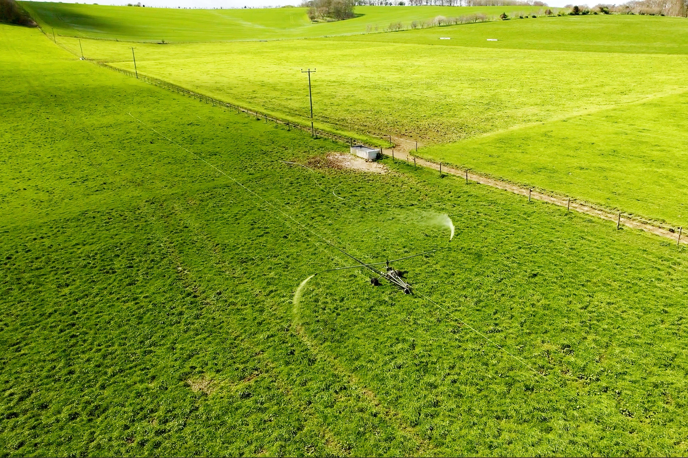
His company’s goal is to infer information about crops, pastures, and natural resources so that farmers can maximize food production. Data from space, he thinks, can aid people in managing their land without having to laboriously monitor the growth of crops—and his system is so precise it can even measure the blade height of swaths of grass.
Aspia Space was founded in 2021 in Cornwall, UK, and it’s still in the startup phase. Its customers will eventually include farmers and ranchers with relatively large croplands in rural areas and in the global south, Geach says. But their first partner for grass-measuring data is based in Northern Ireland: the agritech company Origin Digital, which in turn works with organizations that partner with farmers and agronomists. This initial project maps average grass height and tracks how fast it’s growing (or not). Each pixel on the map represents a square on Earth that’s 10 meters on a side. This kind of data can show which part of a field or grassland is faring well and which part is distressed, information farmers could use to update their harvesting plans, or that would let ranchers know when to move a herd of cattle.
Here’s how their technology works: Aspia begins by collecting cloud-penetrating radar imagery from the European Space Agency’s Sentinel-1 satellites. Then, their artificial intelligence algorithm, called ClearSky, translates those into optical images, making them easier to interpret. The team trained and calibrated the algorithm using “ground truth” data about real grass heights collected by Origin Digital. People used a tool called a “rising plate meter” to measure the height and quantity of grass in a paddock and converted that into kilograms of dry matter per hectare. This conversion allows ClearSky to turn its grassland images into actionable data in places where there are no existing direct measurements. Eventually, ClearSky will be able to make forecasts about future vegetation growth, which Geach thinks will be useful for anticipating which crops might ripen soon, or which seem to be struggling from water stress.